|
Holly Hill, SC | My vote would go to Fieldview. I have had no problem with multiple people using the account. I uploaded my field names and boundaries from SMS Basic. I personally primarilar only use the app for rain totals (pretty accurate) My newer employer used it to learn the names and locations of our fields. I keep all these fields in a excel spreadsheet were all the crops, soil info, and misc info are keep. Sort into a list and give to the employee for upcoming tasks.
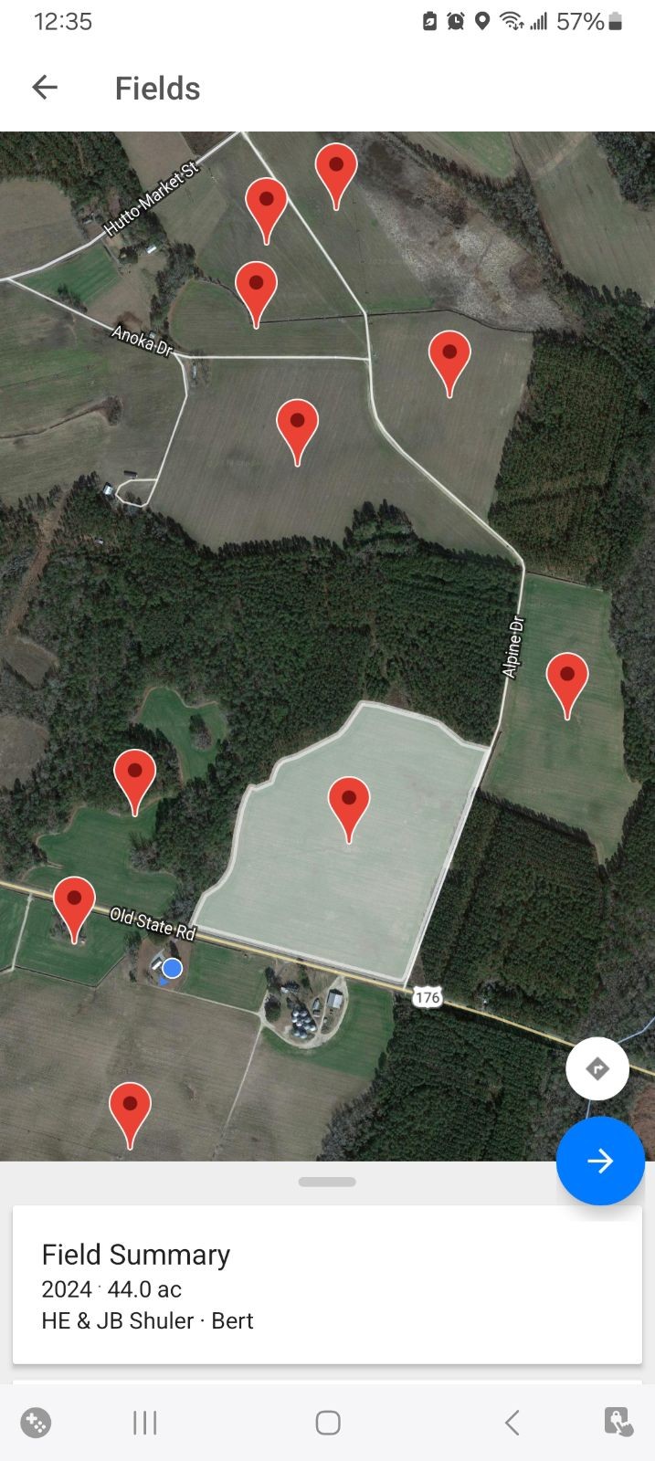 (Screenshot_20240324_123551_FieldView (full).jpg) (Screenshot_20240324_123551_FieldView (full).jpg)
 (Screenshot_20240324_124920_Messages (full).jpg) (Screenshot_20240324_124920_Messages (full).jpg)
Attachments
----------------
 Screenshot_20240324_123551_FieldView (full).jpg (233KB - 12 downloads) Screenshot_20240324_123551_FieldView (full).jpg (233KB - 12 downloads)
Screenshot_20240324_124920_Messages (full).jpg (203KB - 13 downloads)
| |
|
 What app to map fields to show boundries

